Ms. Johnston's Science
Earth Science Units

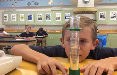
Math in Science part 1&2
A large part of science is the math that is involved in measuring experiments. In this unit we are looking at the math neccesary for measuring and coming to conclusions in science. The specific standards that you will need to know for this unit are -
-
Students will be able to do metric conversions.
-
Students will be use the KFMA method to properly follow formulas.
-
Students will know the basic units of the metric and us measurement systems.
-
Students will be able to use the goal post method to do conversions.
-
Students will be able to create a line graph and read information from it.
-
a. Students will be able to convert numbers to scientific notation.
b. Students will be able to convert scientific notation to the numbers they represent.
Minerals
Students will learn about minerals, classification, and the importance of minerals in daily life.
-
Students will be able to descibe the differnces between mineral and non-minerals.
-
Students will be able to identify minerals through their properties
-
Students will be able to find the density and read graphs to identify minerals.
-
Students will be able to describe how minerals form.
-
Students will be able to explain how minerals are used in daily life.


Rocks
1. Students will be able to identify how rocks form.
2. Students will be able to identify which main group of rock that sample rocks come from.
3. Students will understand and be able to explain the rock cycle.

Plate Tectonics
-
Students will be able to identify the structure of the earth.
-
Students will be able to explain how the structure of the earth leads to the movement of tectonic plates.
-
Students will be able to explain how earth's crust is created and destroyed.
-
Students will be able to connect the importance of convection currents to how Earth functions.
-
Students will be able to give the theory of Continental Drift and explain its effects on our world.

Earthquakes
Coming Soon!

Volcanoes
-
Students will be able to explain why volcanoes exist.
-
Students will be able to identify and predict the effects of a volcano to the surrounding areas.
-
Students will be able to label and explain all structures of a volcano and the structures that accompany volcanoes.
-
Students will be able to explain the effects of major historical volcanic erruptions on the environment and people.

Erosion
-
Students will be able to describe the forces that change the surface of the earth
-
Students will be able to identify the effects of erosion
-
Students will be able to explain the affects of glaciers, wind, and waves on earth's crust.
-
Students will able to explain the affects of water with erosion
-
Students will be able to determine how caves are formed and the major features of caves.

-
Students will be able to describe the methods used in dating fossils and rocks
-
Students will be able to identify rock layers in order of age
-
Students will be able to explain the difference between old earth and young earth and their respective view points
-
Students will able to use half-life to determine age of rocks

Ocean Motions
-
Students will be able to label and explain the parts of a wave.
-
Students will be able to give the factors that affect oceans tides.
-
Students will be able to use of a map of currents to draw conclusions.
-
Students will be able to identify ocean zones.
-
Students will be able to make deductions based on density, waves, and tide data. (math section)

Scientific Method
-
Students will be able to describe what Earth Science entails.
-
Students will be able to list the steps of the scientific method and explain each step.
-
Students will be able to differentiate between fact and opinion.
-
Students will be able to draw observations, inferences, and predictions.
-
Students will be able to create an experiment using the scientific method.

Topography
-
Students will be able to read and plot points using longitude and latitude.
-
Students will be able to explain why there are different map projections.
-
Students will be able to use legends, symbols, and contour lines to draw conclusions from maps.
-
Students will be able to describe how global positioning works.